Search the Community
Showing results for tags 'geographic'.
Found 1 result
-
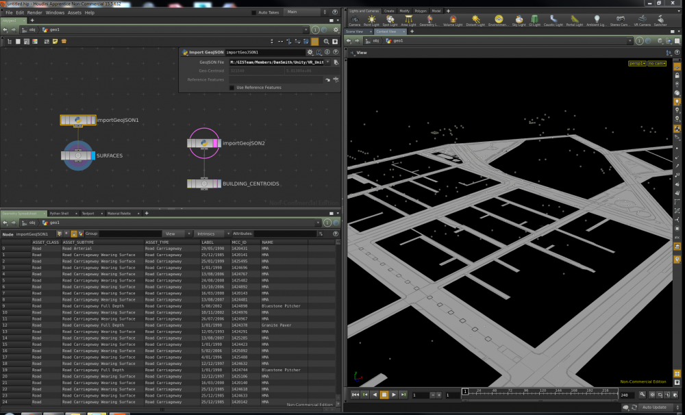
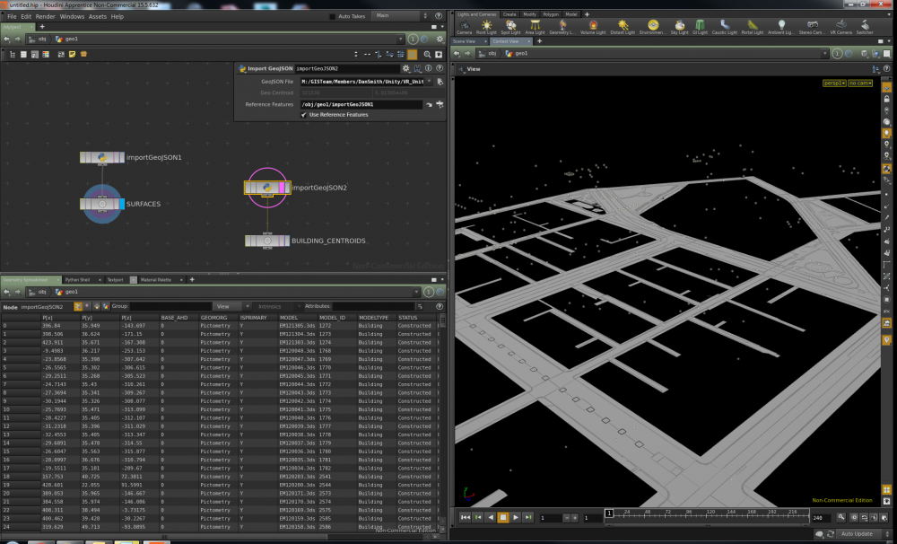
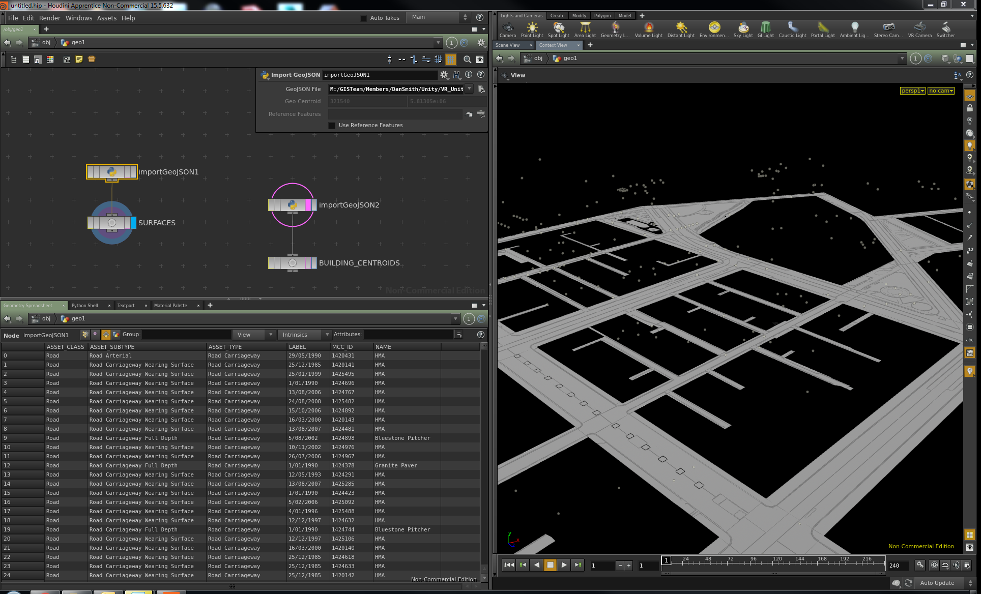
Hi All, If you need to work with Geo-Spatial data on a regular basis like I do, you might be interested in the GeoJSON Importer (SOP HDA) that I have started developing. You can grab it from here: https://github.com/danleesmith/HOU_GeoTools Some basic Info on the Importer: Houdini Geographic Tools Custom Python GeoJSON importer Digital Asset for Houdini (HDA). This importer reads GeoJSON files only. GeoJSON is quickly becoming the standard geo-spatial interchange format and can store point, line and polygonal features with associated attributes. The GeoJSON standard can be found here: http://geojson.org/ Limitations This importer only works with projected coordinate systems. An explanation of the difference between projected and geographic coordinate systems can be found here: http://tech.ced.uga.edu/kb/articles/difference-beteween-projected-and-geographic-coordinate-system The importer also requires that any NULL or EMPTY attributes, which are allowable in many GIS systems, are mapped to -9999. This will ensure that when the attributes are written in Houdini they can be stored as either 0 for numbers and '' for strings. NOTE: Polygon/Primitive Holes (known as donuts in GIS) have not been implemented in the importer at this stage. Data Prep To prepare you data and convert your spatial files to GeoJSON I recommend using QGIS: http://www.qgis.org/en/site/ OR if you can get your hands on a licence give FME a go: http://www.safe.com/ Usage This HDA is a SOP based asset. 'GeoJSON File channel' is used to point to the desired GeoJSON File for importing. If you want to import many GeoJSON files in the right location relative to each other just drop down a new Import GeoJSON node, toggle on 'Use Reference Features' and point the 'Reference Features' channel to the desired Import GeoJSON node. The attached images show the Importer in action. I hope you find this useful and please send through any suggestions you have!