Search the Community
Showing results for tags 'cop network'.
-
Is there a way I can get the colour from the Heightfield Quickshade into a cop2net. I've tried sop import but it only cares about the heightfield planes (height, sediment, debris...), but I need the colour. The real objective is to get that quickshade result out of Houdini. I couldn't do it with a heightfield output, so I thought I should try via the cop2net. But first how to get it into the cop2net?
- 1 reply
-
- cop network
- cop2net
-
(and 2 more)
Tagged with:
-
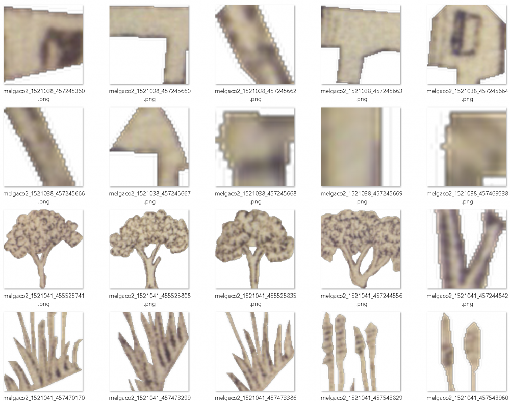
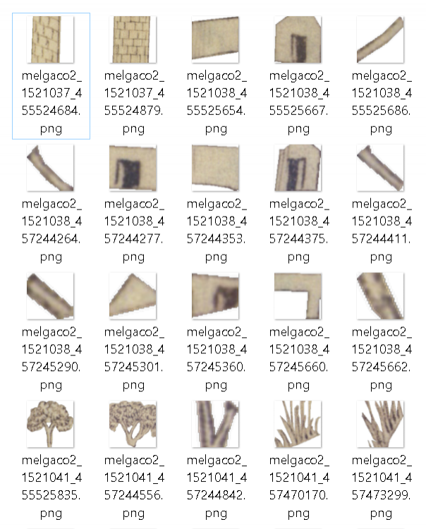
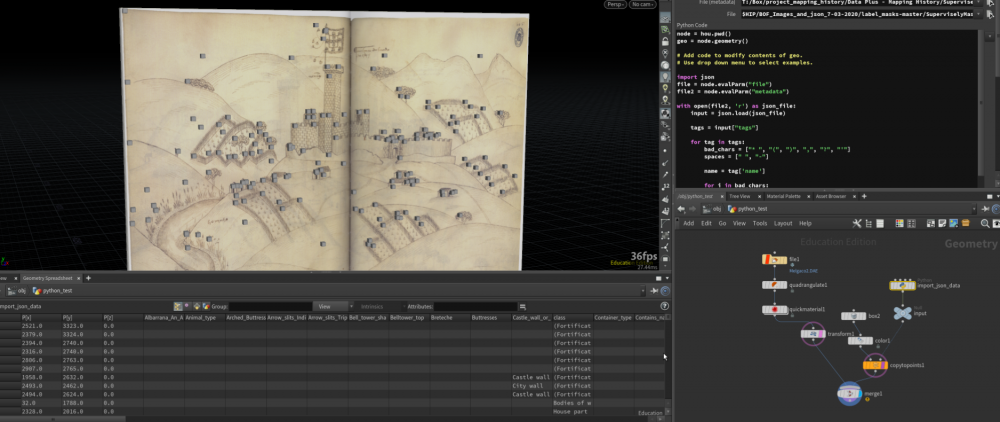
Hello. I only started using Houdini a few months ago, so this may be a little too complex of a question for this forum, but I have been spinning my wheels for too long not to try. Here is my goal in as simple terms as I can come up with: I am trying to reassemble a complex image from a folder of cropped and masked pieces of that image. I also have a Json file that offers pixel coordinates for the upper left corner of each piece, the Object ID (filename for each piece) and a bunch of attributes that explain what each piece is. (Parts of a house, a tree, etc.) In the short term, I would like to use the trace node on each piece to create a simple flat piece of geometry for each piece, and copy that piece to its corresponding point. The "corresponding point" is the point that matches an "ID" attribute to the filename of each cropped image (ex: "melgaco2_1521041_etc.png"). I also have a folder of "white and alpha" mask versions of each cut out image that have the same ID numbers in the file name to use with the trace node. I did not share those here, but I can if needed. Below is a screenshot of the cut up image files, and a composite of the imported Json file with cubes at the origin point of each piece over top of the original image: Here are my problems: 1. I don't know how to import all of these images into Houdini. I tried a File Pattern via the TOP network, and I created 160 "work items"but I am a little lost trying to figure out how to do anything with those items since they are not geometry yet. 2. Once I could get a detail? for every image piece via the trace node, I would need to create an attribute wrangle that would match it to a point that has the same "ID" attribute as the image file's filename. (I come from a GIS background, so I keep thinking this would be easy, but this kind of "join" is hard to find int eh documentation) 3. I am trying to make this procedural - I would like to be able to create an HDA that requires two inputs: a path to the file folder of images, and a link to the corresponding Json. I am getting lost about what "Level" everything needs to be on, especially when I started messing around with the Top Network File Pattern Node and "work items." Should each image file piece be its own object, or can I keep them as primitives or details of one object? 4. I have barely started learning about the img environment, so I imagine I might need to be working more in the COP network, but I am struggling to understand how to "move" between environments. If anyone out there knows a tutorial that clarifies how to connect nodes between the Geo and img environments please share Thanks for any help, SuperviselyJson_Python_ET_v008.hipnc melgaco2_jpg.zip
- 10 replies
-
- json import
- trace node
- (and 4 more)


